The visitor center or Massai Point at Chiricahua
Choose between an orientation stop and a high-country view at Chiricahua National Park.

For a first trip, choose what you want most from Chiricahua. Use the visitor center if you need context or help selecting a walk. Give Massai Point priority if a high overlook is your goal and the road and visibility cooperate.
Park highlights map
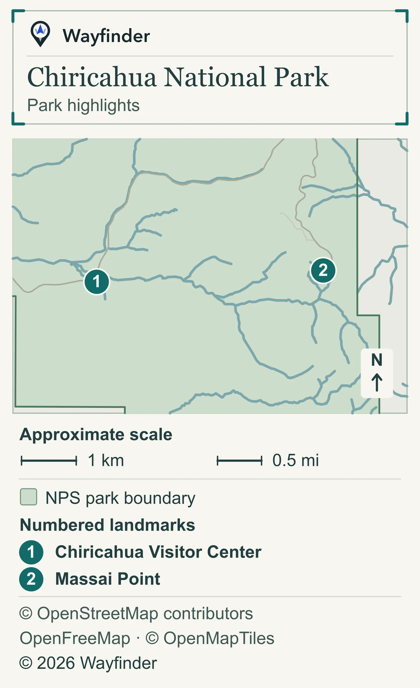
Chiricahua Visitor Center is point 1. Massai Point is point 2. Use the map for orientation and the park’s directions for your approach.

Choose your stop
Chiricahua Visitor Center
The visitor center is one of the stops along Bonita Canyon Drive. (National Park Service · Chiricahua Visitor Center, checked November 20, 2026). Get advice on the exact approach before planning time higher up. If your group wants a hike, ask about the trailhead, footing and return instead of choosing a route just because it is near a viewpoint on the map.
Massai Point
The paved, 8-mile Bonita Canyon Drive climbs to the viewpoint at Massai Point. The vehicle length limit past the visitor center is 24 feet, trailers must be unhooked at the Faraway Ranch parking lot, and the drive is occasionally closed past the campground in bad weather. (National Park Service · Massai Point, checked November 20, 2026). Treat Massai Point as a named destination with a different road and weather check from the visitor center. Decide whether you want a short view or a longer walk, then set a turnaround that leaves enough time to get back.
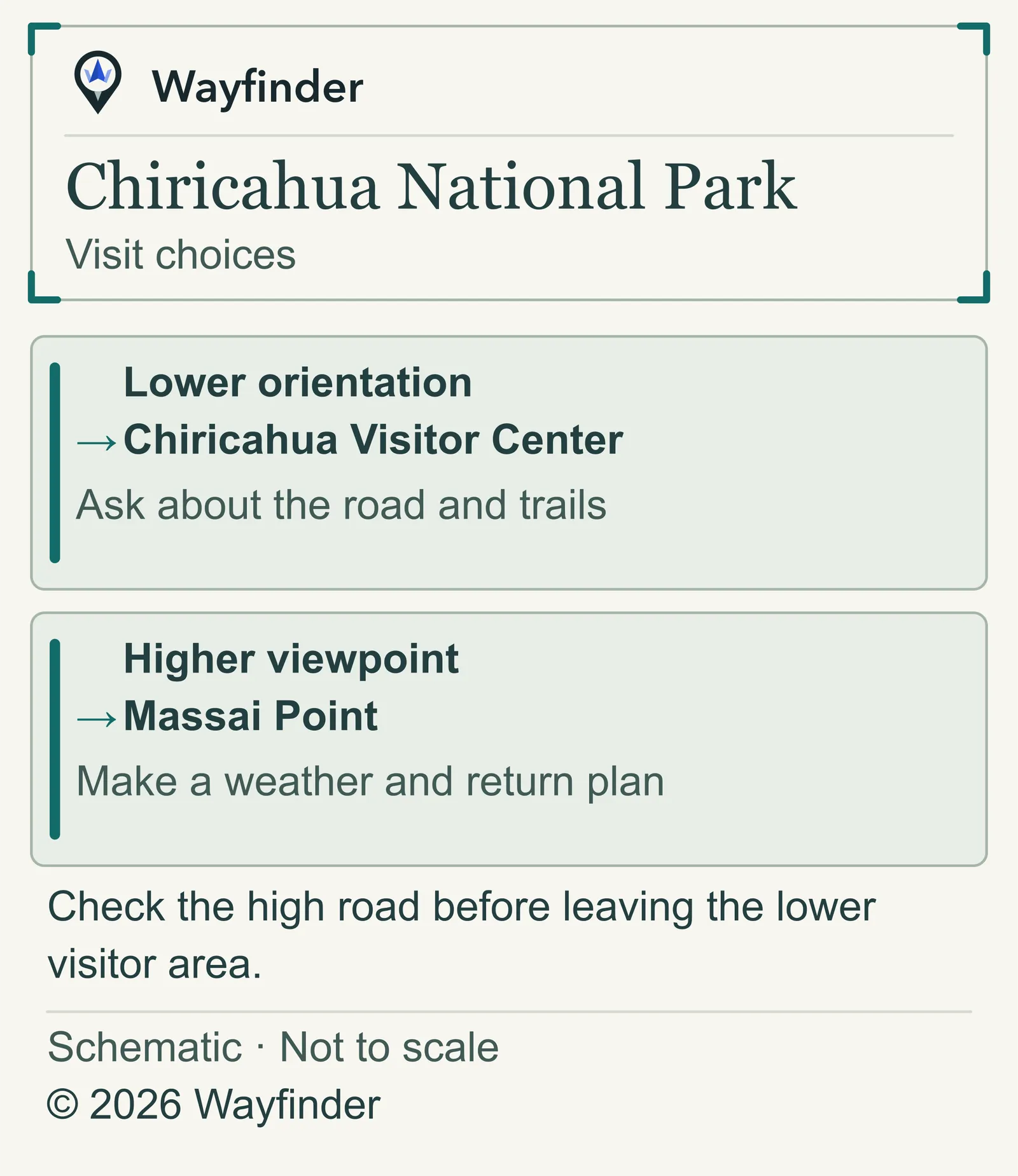
Visit choices
The park’s FAQ confirms the new national park name and says older signs may remain while signs are replaced (National Park Service · Road and viewpoint access, checked November 20, 2026).

- Lower orientation. Ask about the road and trails.
- Higher viewpoint. Make a weather and return plan.
Before leaving
Check the high road before leaving the lower visitor area. The park expects heavy traffic on weekends and holidays and says parking areas and trailheads may overfill in late December and March. Use the National Park Service’s current park notice for access updates that affect your plan.
Common questions
What if I see older signs calling it a national monument?
The current park name is Chiricahua National Park. Use the current National Park Service pages when checking access. The old wording can still appear on signs and printed material during the changeover.
More on Wayfinder
Decide how to plan a longer project around America’s national parks.
Sources checked November 20, 2026
- National Park Service — The visitor center is one of the stops along Bonita Canyon Drive, which climbs 8 miles to Massai Point; vehicle length and trailer limits.
- National Park Service — The park’s FAQ confirms the new national park name, says older signs may remain while signs are replaced, and warns of crowding in late December and March.
- National Park Service — Current official park alerts and visitor conditions.