The Welcome Center or Spider Rock at Canyon de Chelly
Use the Welcome Center and Spider Rock Overlook to plan a rim visit in Canyon de Chelly.

Decide whether you want orientation or time at a specific rim viewpoint. Plan canyon-floor visits separately using the current guidance from the park and the Navajo Nation.
Park highlights map
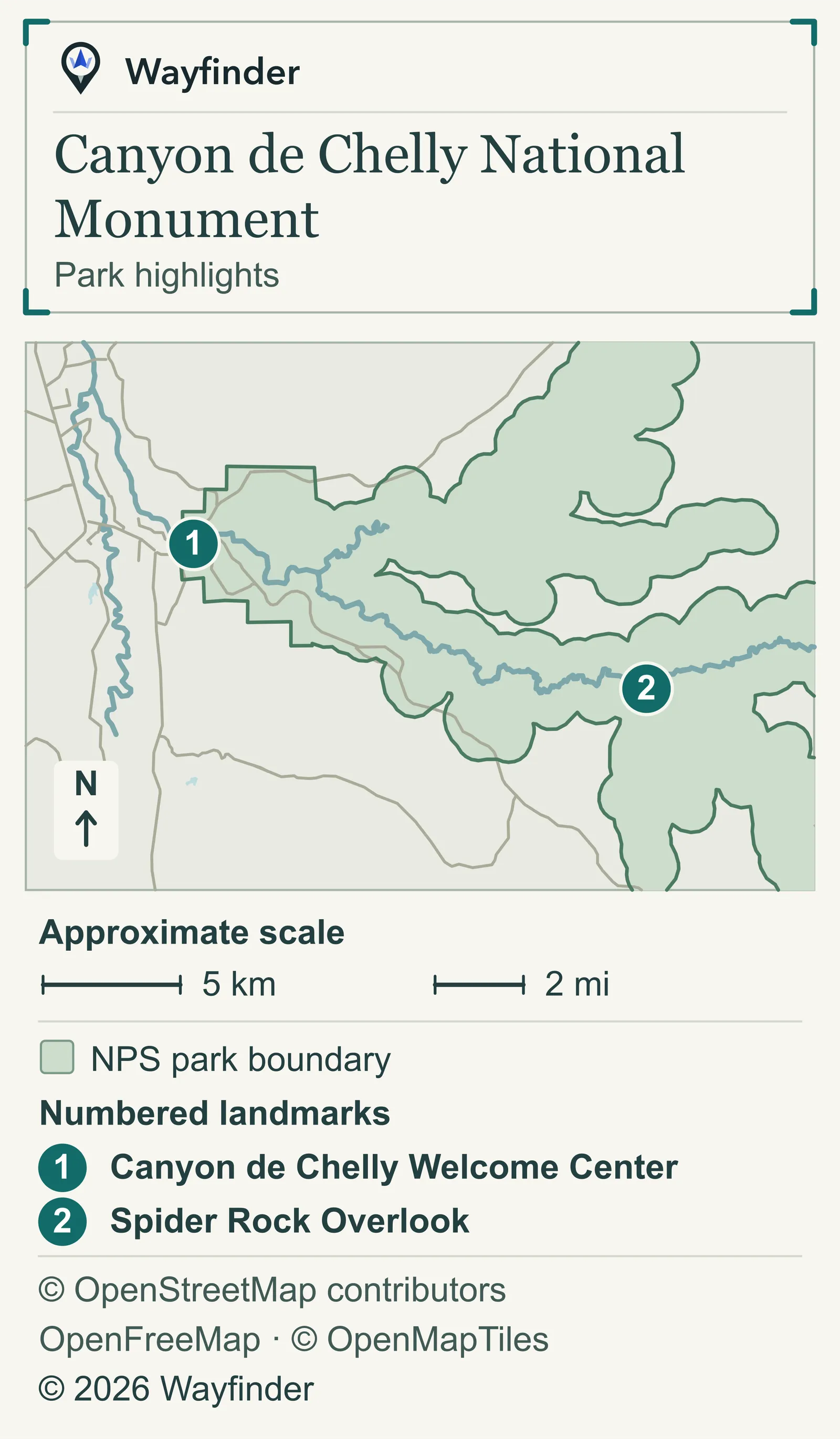
Canyon de Chelly Welcome Center is point 1. Spider Rock Overlook is point 2. Use the map for orientation and the park’s directions for your approach.

Choose your stop
Canyon de Chelly Welcome Center
The Welcome Center is the park’s orientation stop for a brochure and visitor information. It is open daily from 8:00 a.m. to 5:00 p.m., closed on Thanksgiving, Christmas and New Year’s Day, and may open late or close during severe weather. The park has no entrance fee. (National Park Service · Canyon de Chelly Welcome Center, checked November 20, 2026). Start at the Welcome Center for a map and advice about what fits your approach. Ask about the part of the canyon you actually want to see before adding a string of overlook stops.
Spider Rock Overlook
Spider Rock Overlook is on the South Rim. (National Park Service · Spider Rock Overlook, checked November 20, 2026). Give Spider Rock time as one viewpoint on the chosen rim. Check the official road advice before following a suggested connection on a navigation app, and keep time for the signed approach and return.
Visit choices
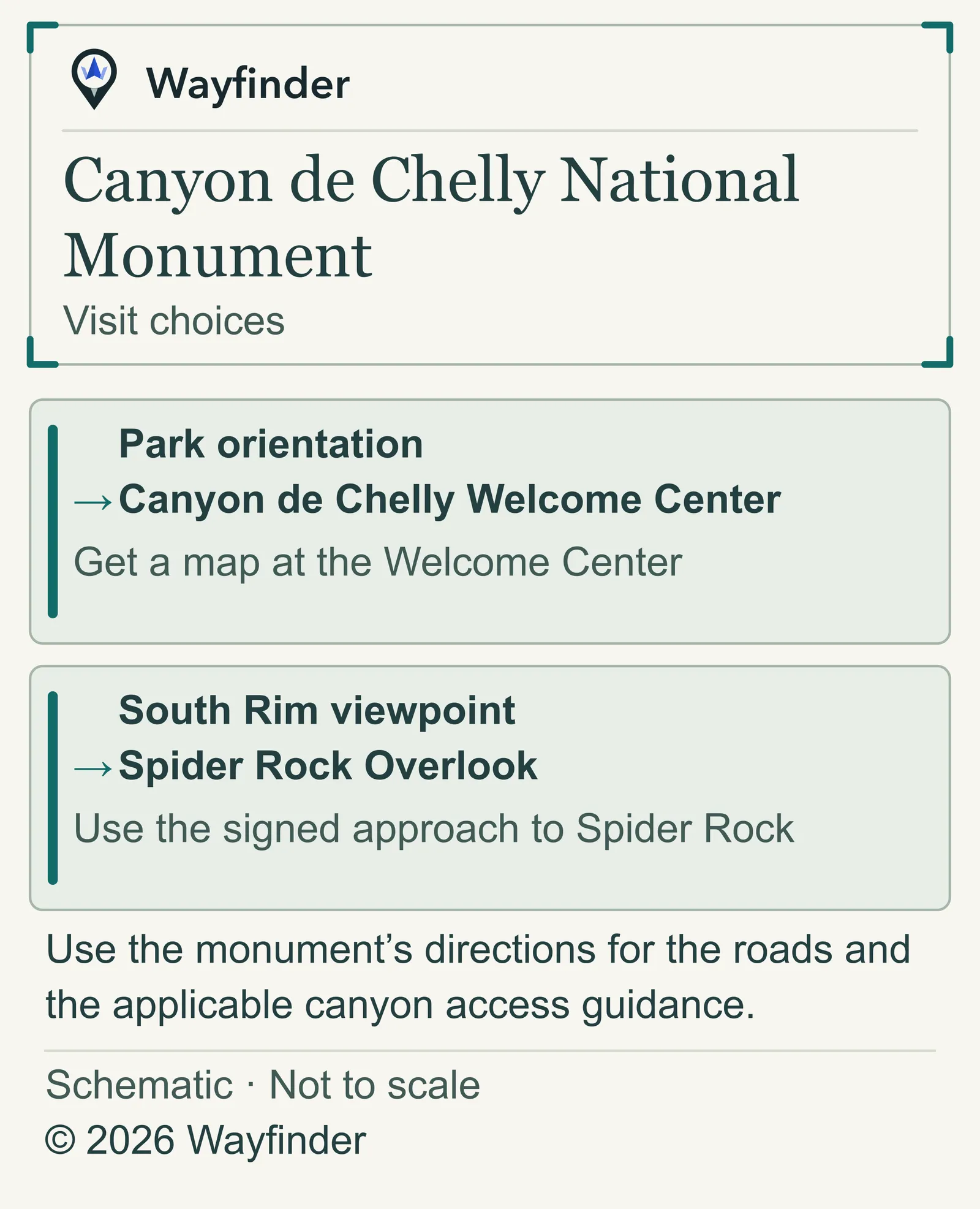
Use the park’s driving directions for the approach, especially if a navigation app sends you toward the park from the east on Indian Route 7 (National Park Service · Rim routes and canyon access, checked November 20, 2026).

- Park orientation. Get a map at the Welcome Center.
- South Rim viewpoint. Use the signed approach to Spider Rock.
Before leaving
Use the monument’s directions for the roads and the applicable canyon access guidance. Use the National Park Service’s current park notice for access updates that affect your plan.
Common questions
Does the overlook give me access to the canyon floor?
Plan it as a rim stop. The park says the White House Trail, which starts at White House Overlook, is the only public trail in the park you can hike without a permit or guide. For any other canyon-floor visit, check the current park and Navajo Nation guidance for the exact route you intend to take.
More on Wayfinder
Plan a separate Grand Canyon visit if the wider trip includes both parks.
Sources checked November 20, 2026
- National Park Service — Welcome Center hours and holiday closures; no entrance fee; the White House Trail is the only public trail hikeable without a permit or guide.
- National Park Service — Spider Rock Overlook is on the South Rim.
- National Park Service — Use the park’s driving directions for the approach, especially if a navigation app sends you toward the park from the east on Indian Route 7.
- National Park Service — Current official park alerts and visitor conditions.